|
| *****SWAAG_ID***** | 478 |
| Date Entered | 25/03/2012 |
| Updated on | 25/03/2012 |
| Recorded by | Tim Laurie |
| Category | Mining Related |
| Record Type | Industrial Archaeology |
| Site Access | Public Access Land |
| Location | William Gill |
| Civil Parish | Arkengarthdale |
| Brit. National Grid | NY 91563 05277 |
| Altitude | 581m down to 535m |
| Geology | Namurian strata. |
| Record Name | The William Gill Colliery |
| Record Description | A visual record of the main pit and several other shaft mounds located lower down on the southern side of William Gill. There are at least eight isolated shafts centred at NY919 054,569m, of which only four are recorded here.
The shaft mounds on the eastern side of William Gill are substantial and are shrouded in heather. These may be older pits, and probably predate the Main Pit which is at NY91563 05277,581m. Several of these lower shaft mounds show remains of horse whim bases. The access roads to these isolated pits are not prominent. |
| Dimensions | See photographs. |
| Additional Notes | There are long peat faces running downslope towards the aest bank of William Gill which may have been peat diggings in this area. |
| Image 1 ID | 2406 Click image to enlarge |
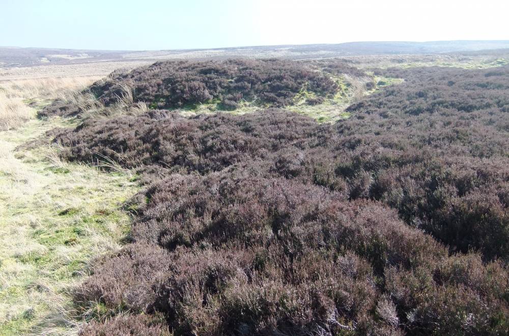
| Image 1 Description | Heather covered shaft mound on eastern side of William Gill at NY91946 05568,544m | 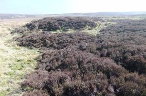 |
| Image 2 ID | 2407 Click image to enlarge |
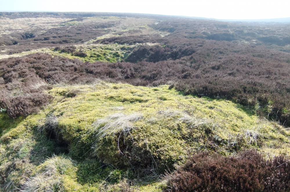
| Image 2 Description | Shaft mound on eastern side of William Gill at NY91946 05568,544m | 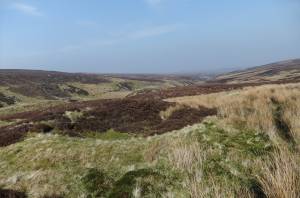 |
| Image 3 ID | 2408 Click image to enlarge |
| Image 3 Description | Shaft mound on eastern side of William Gill at NY91946 05568,544m |  |
| Image 4 ID | 2409 Click image to enlarge |
| Image 4 Description | Shaft mound on eastern side of William Gill at NY91930 05460, 561m | 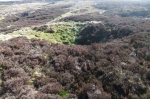 |
| Image 5 ID | 2410 Click image to enlarge |
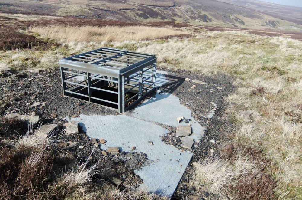
| Image 5 Description | Shaft cover of Pit at NY91938 05403,569m |  |
| Image 6 ID | 2411 Click image to enlarge |
| Image 6 Description | Shaft cover of isolated pit at NY91857 05338,563m. View southward towards the Main Colliery in distance. | 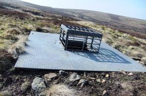 |
| Image 7 ID | 2412 Click image to enlarge |
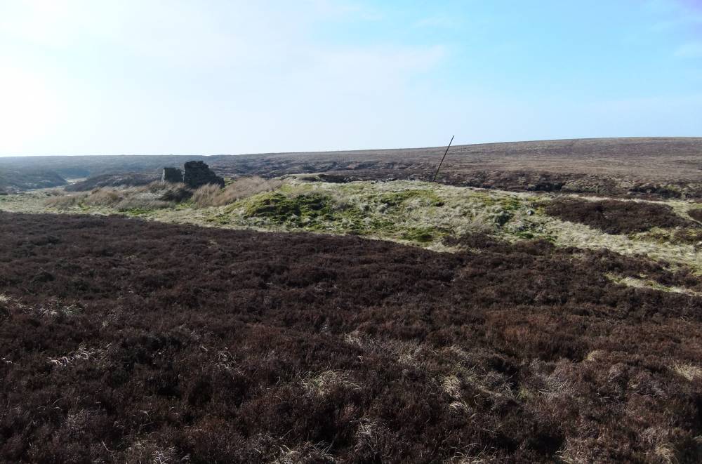
| Image 7 Description | William Gill Colliery. |  |
| Image 8 ID | 2413 Click image to enlarge |
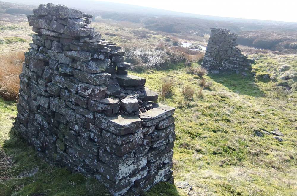
| Image 8 Description | William Gill Colliery. Remains of buildings. | 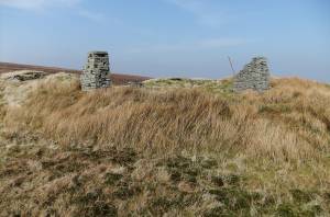 |
| Image 9 ID | 2414 Click image to enlarge |
| Image 9 Description | William Gill Colliery. Remains of buildings. | 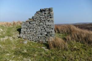 |
| Image 10 ID | 2415 Click image to enlarge |
| Image 10 Description | William Gill Colliery. Remains of buildings. | 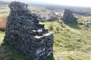 |
| Image 11 ID | 2417 Click image to enlarge |
| Image 11 Description | | 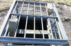 |
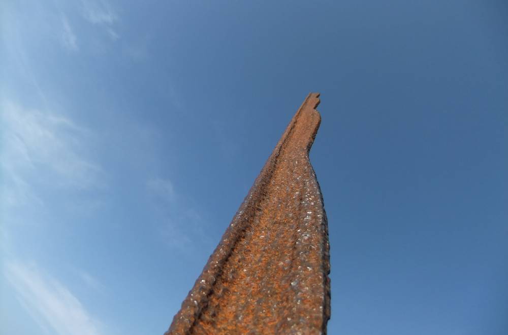
| Image 12 ID | 2418 Click image to enlarge |
| Image 12 Description | Section of rail pointing skyward |  |